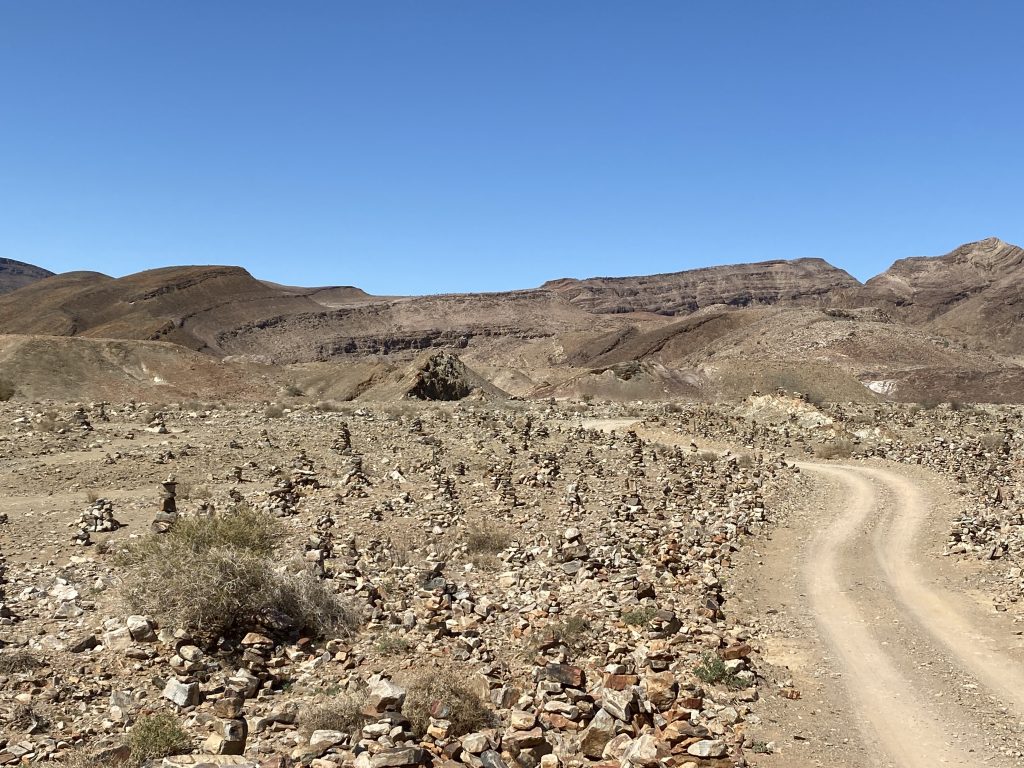
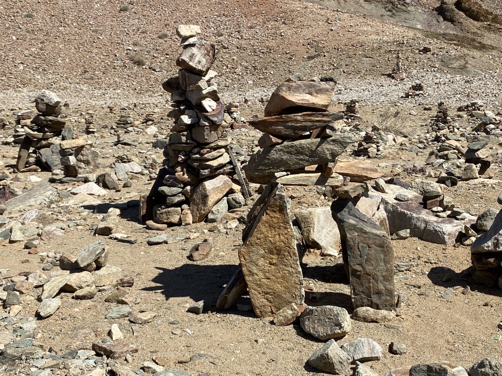
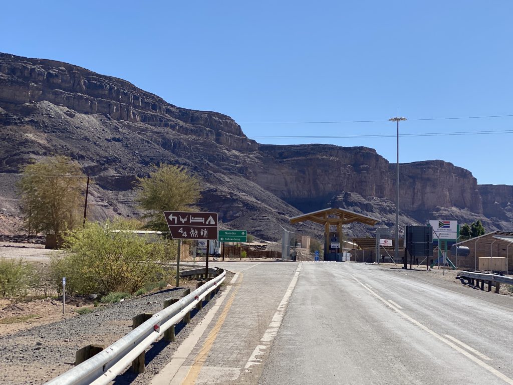
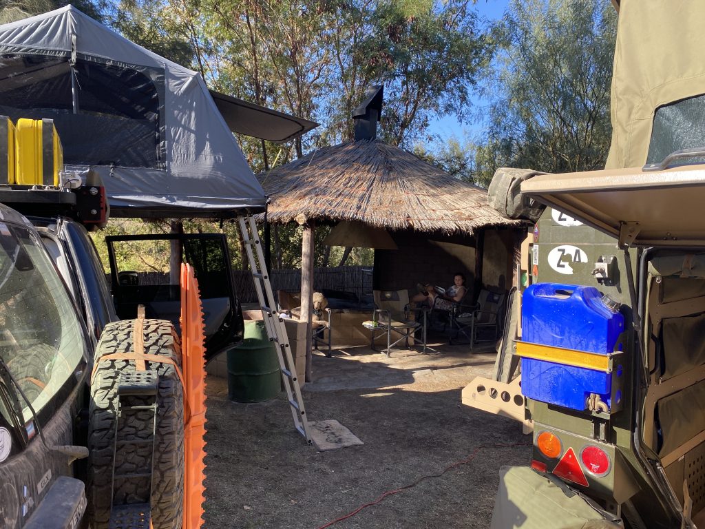
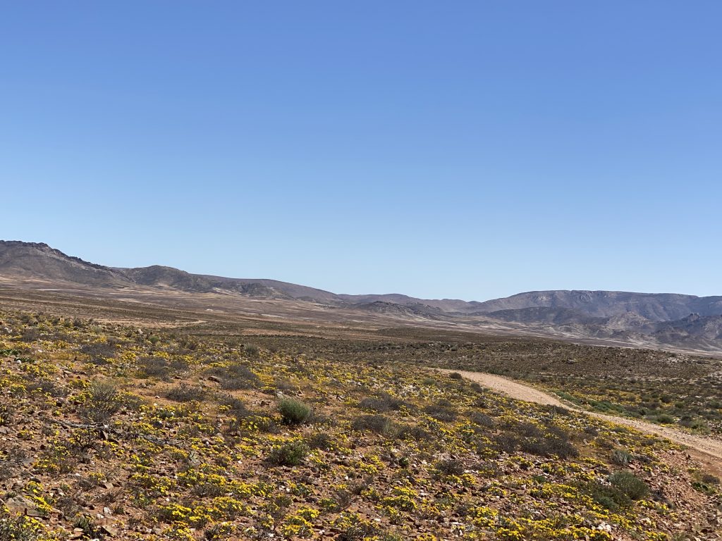
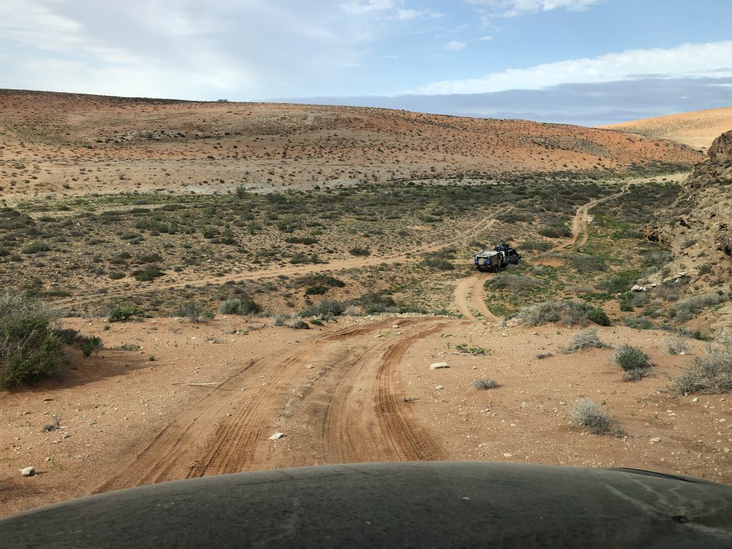
The sixth day had us going back through the dry riverbeds and rocky terrain for the first hour of our trip. We had many steep hills and the most challenging terrain of the trip so far. Four wheel drive was definitely required. We made it through without losing any tires, haha! As we wound our way through the mountains we started to see some of the flowers that the area is famous for. We also came across the rock towers in the middle of nowhere. Apparently, these have been here for many, many, years. There are lots of theories about who made them originally, but you’re encouraged to stop and make your own. We finally made it out to a main tar road, but we were only on it for a few miles. This led us to the SA/Namibia border, which we could see but not go through. It was still closed. The Orange River creates a natural border between South Africa and Namibia. We left the tar road again and turned to follow the road along the Orange River to get to our camp for the night. This was our half way point of the trip so it was time to restock our water and beer supply and enjoy a night with facilities. We stayed at the Orange River Rafting Lodge and it was really great.
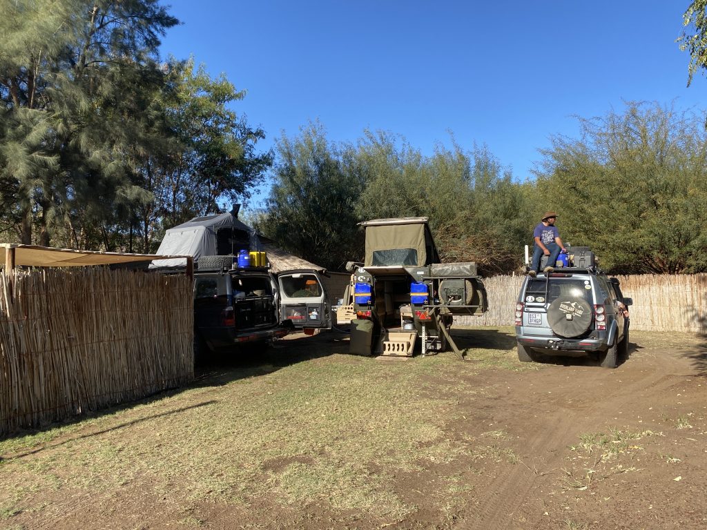
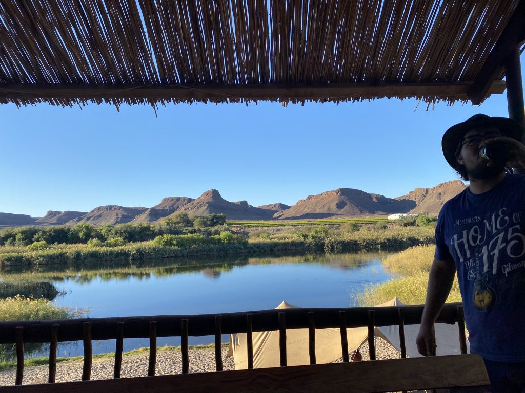
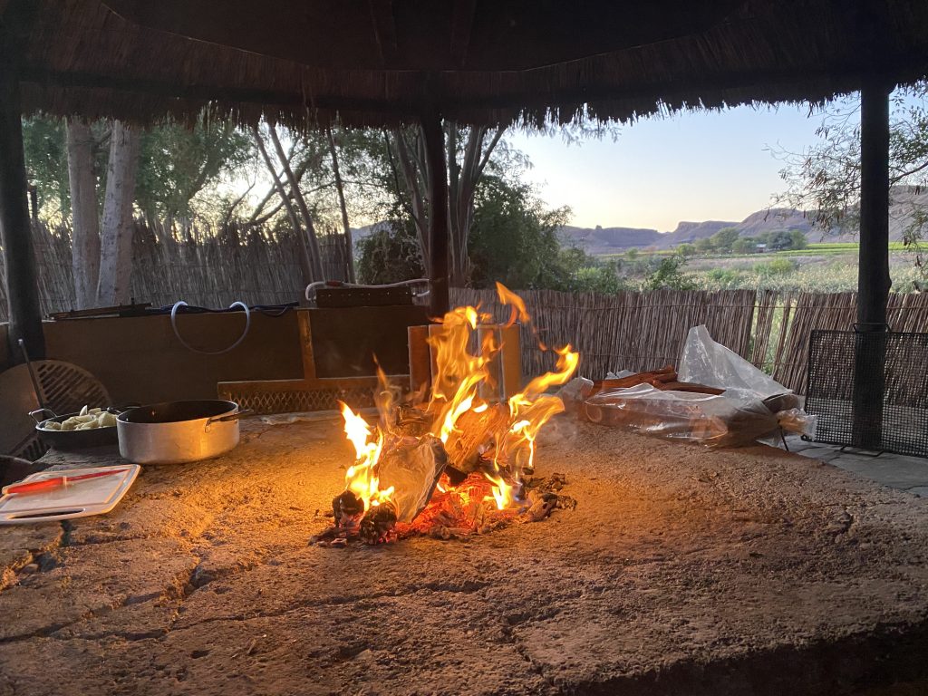
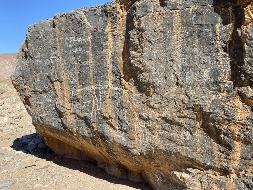
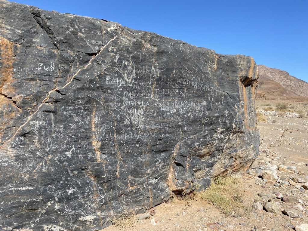
I would have loved to stay another day, but we reluctantly moved on with plans to go back on a future trip. After enjoying the comforts of a hot shower, electricity, running water, and a cell signal, we headed back out to the wilderness. The next day had us up early for a long day. We were prepared for a five hour drive and that’s what we had. Once again, we had some serious terrain to deal with. Several times we actually had to get out of the vehicles to help the driver navigate the rocks and terrain. It was really a lot of fun though. Everyone enjoyed it except for Q. This was the first time he was uncomfortable in the car and thankfully it was the only day it was that rough. We made lots of stop for him. Along the way, we stopped to see some petroglyphs that were thousands of years old. Sadly, disrespectful people had graffitied them so much they were hard to tell apart from the graffiti. I will never understand why people feel the need to deface nature and historical sites. They were still cool to see, but it really made us sad.
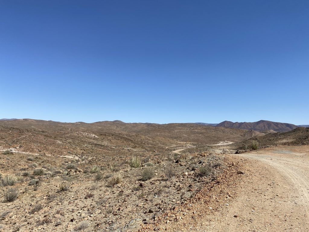
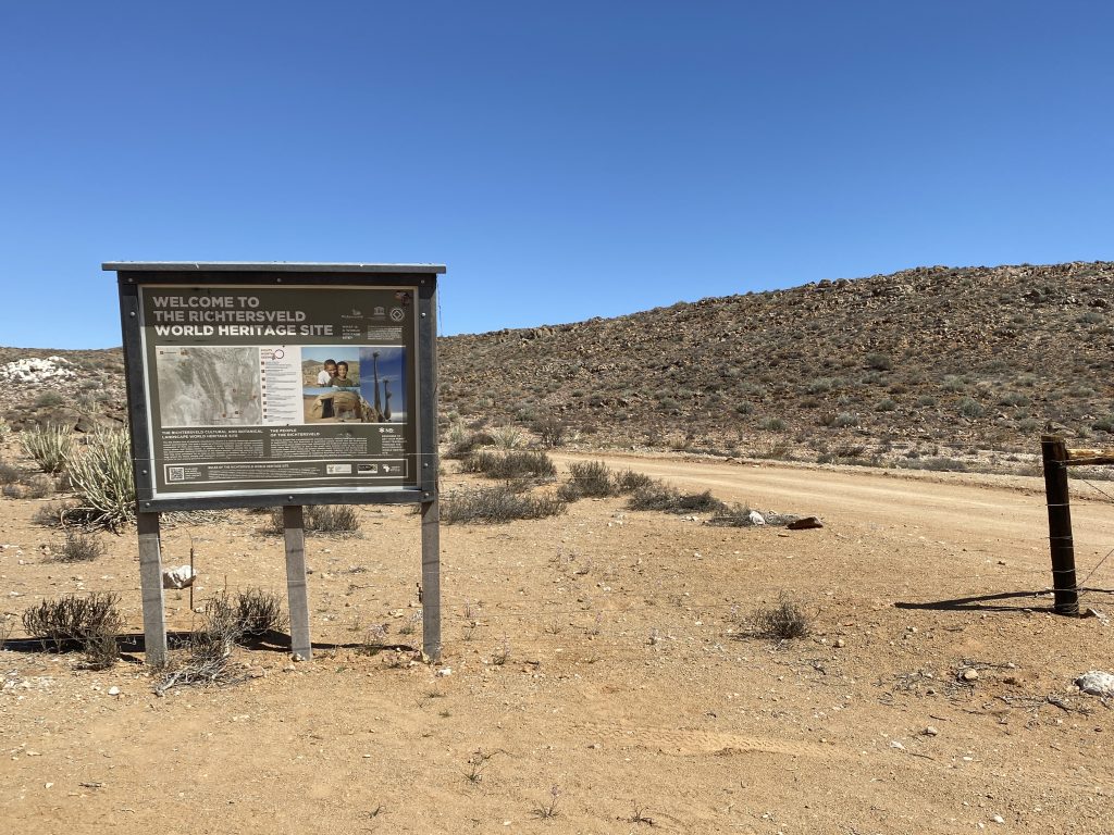
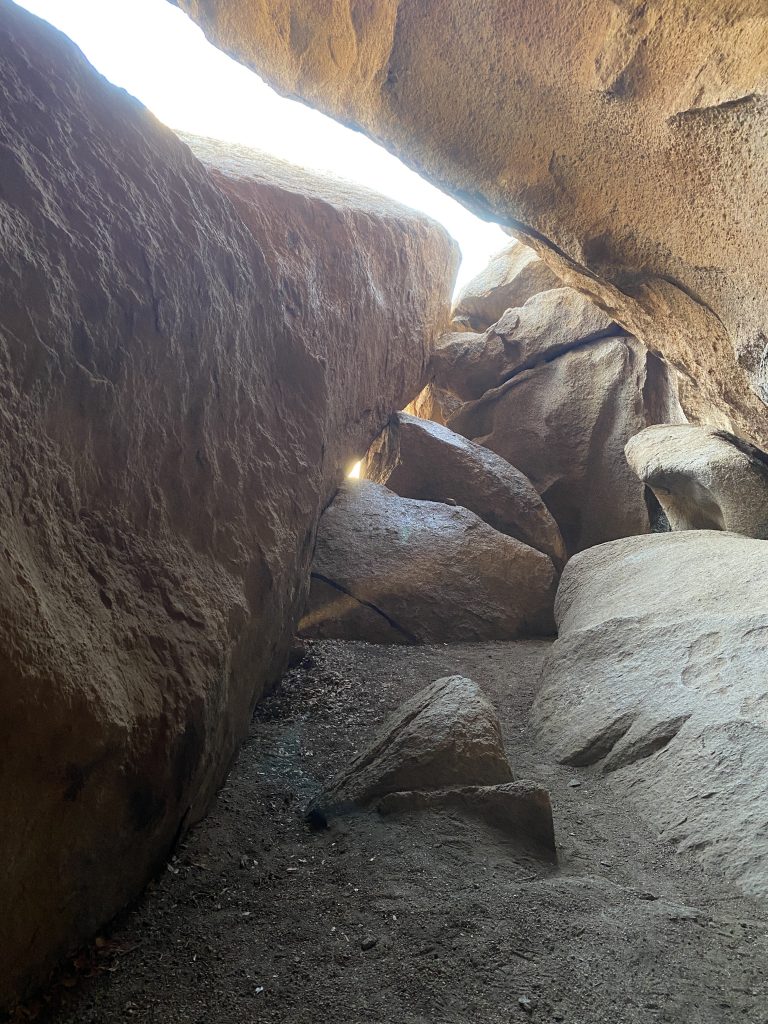
Then we saw the sign welcoming us into the World Heritage Site area of the Richtersveld. It was two hours further on until we reached camp. The long hard trip was worth it! Our campsite was the coolest we’ve ever stayed in. A cave! The site is Bakkranse and it’s a natural cave on the back side of a mountain. We had a fun time getting the vehicles in and it was one of the nicest evenings of the trip. We played some games after dinner and it was the best stargazing of the trip.
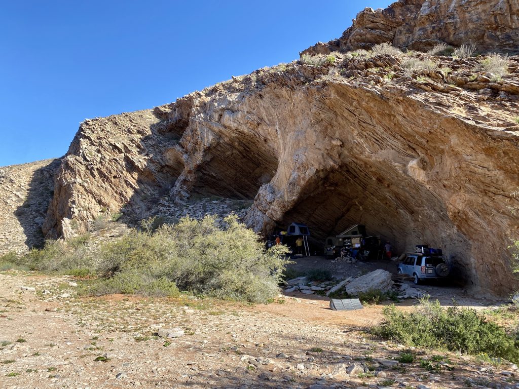
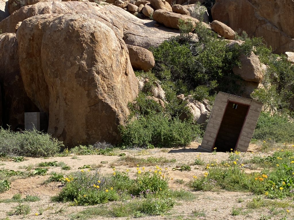
Since we were up late and only had an hour and a half to drive the next day, we slept in for the one and only time of the trip. After a leisurely morning, we packed up and headed out. It was the only day of the entire trip that it rained. As luck would have it, we were in a cave, so we stayed dry! The drive that day was an easy one and by the time we got to the next site, the rain had stopped. The sun came out while we were having lunch and we set up camp. The next area was called Tierrhoek and there were more caves, but not big enough to camp in. This area was the one and only area that the Eco Trail authorities had tried to put in facilities at some point in the past. It was many, many years ago and it didn’t work out, so the remains are dilapidated but amusing. There is a very tilted long drop toilet which may work for you, depending on how many drinks you’ve had. The rest of the scenery was beautiful and there was quite a view. We enjoyed a couple of walks that evening.
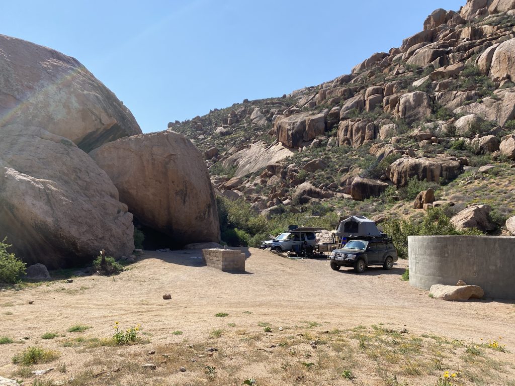
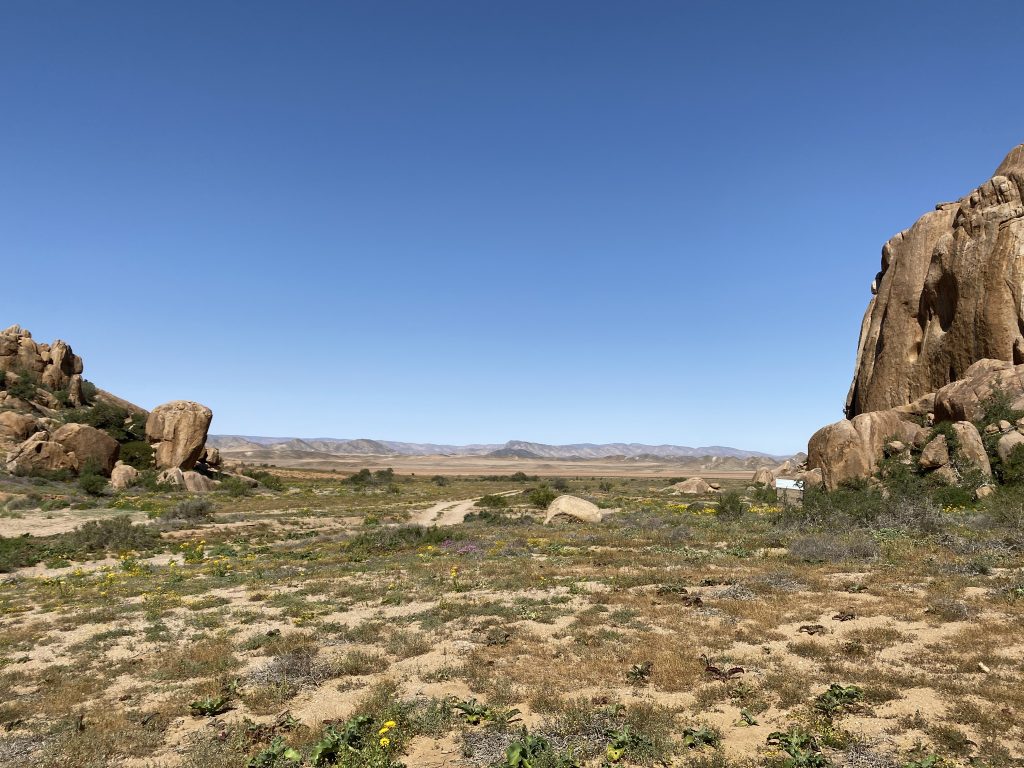
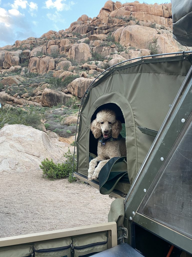
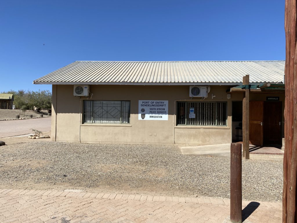
The next day we drove about three hours to Brandkaros. We would be there for two nights and it was the end of the Richtersveld. We were low on fuel in both vehicles, so we decided to drive to Alexander Bay in the afternoon. It was a bust! We were expecting a bustling town on the coast with shops and restaurants. There were neither. In fact, there was only one filling station and it happened to be closed on the weekends. It was truly bizarre. We headed back to camp and enjoyed a relaxing evening with a fantastic sunset. Brandkaros had facilities, but it was a strange place. It’s on a working farm and the campsites were hard to find. It’s a bit run down, but I think it has recently changed owners and they are fixing it up. We were just happy to have power and water again. The next day we had a leisurely morning and then drove to Sendelingsdrift in the Richtersveld National Park. This is another border crossing into Namibia, also closed. We did drive down to the crossing, which is really cool. It’s a water crossing on a small float that only carries two vehicles at a time. Crazy! We waved at Namibia, but it didn’t wave back. The road to Sendelingsdrift was the worst road of the entire trip, but we were successful in filling up one of the vehicles with diesel. We also crossed into a small part of the Ai-Ais Richtersveld Transfrontier Park. It really is a beautiful area. We were back at camp around lunchtime. The guys went down to the river to go fishing and explore, but otherwise it was a lazy afternoon. We spent the rest of the afternoon and evening playing games and enjoying some beverages. After dinner, we did as much packing up as we could to leave early the next day.
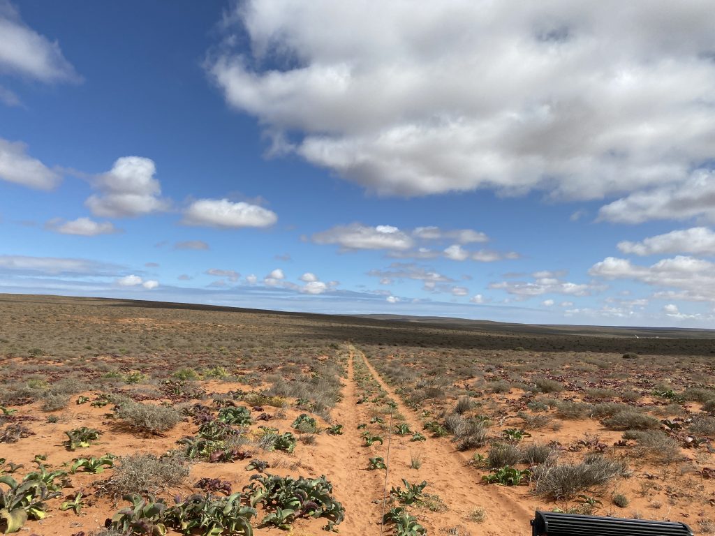
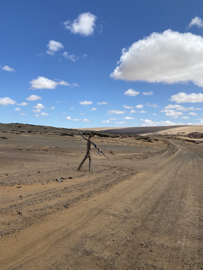
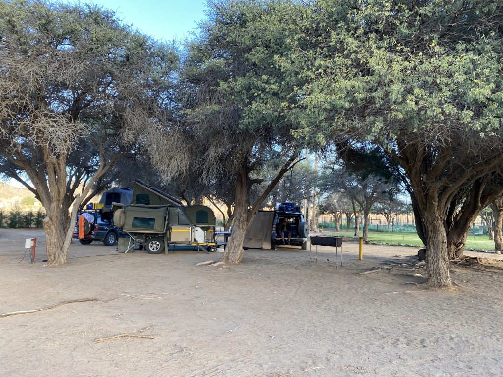
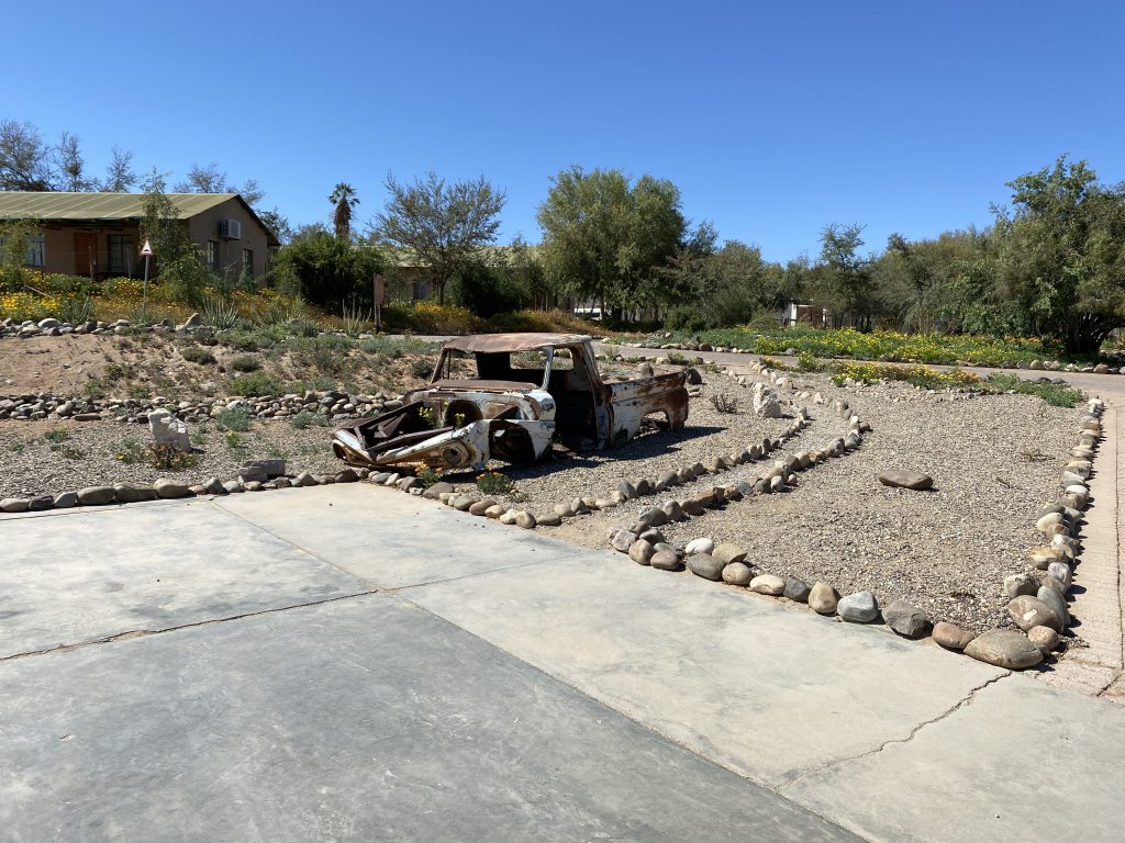
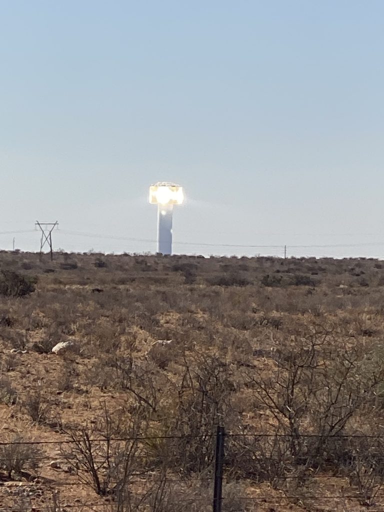
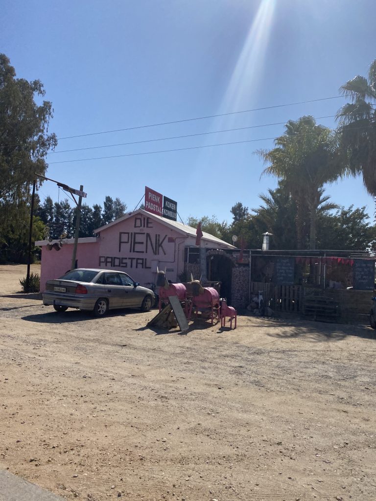
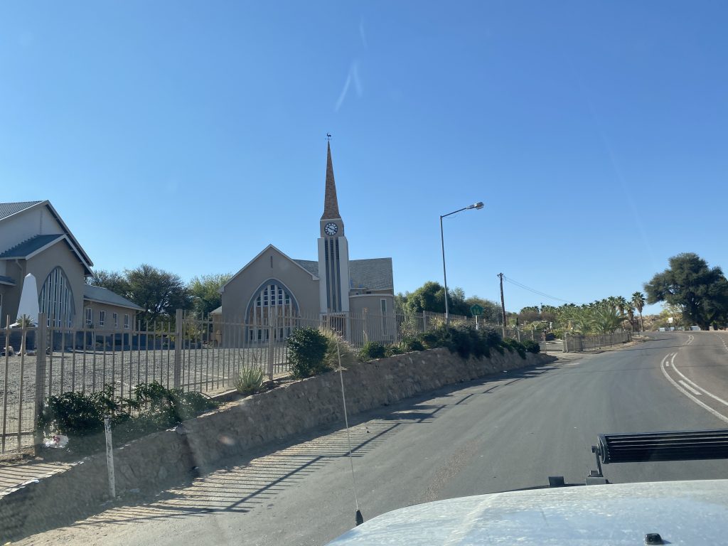
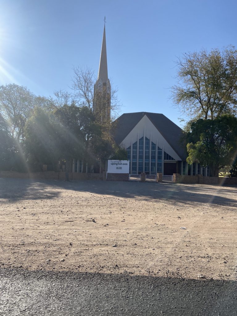
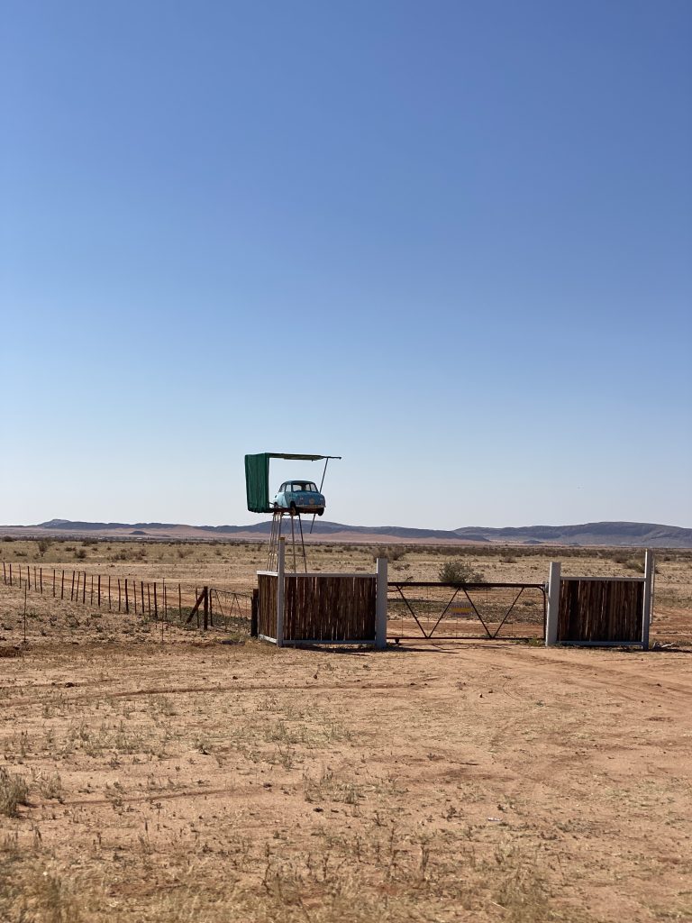
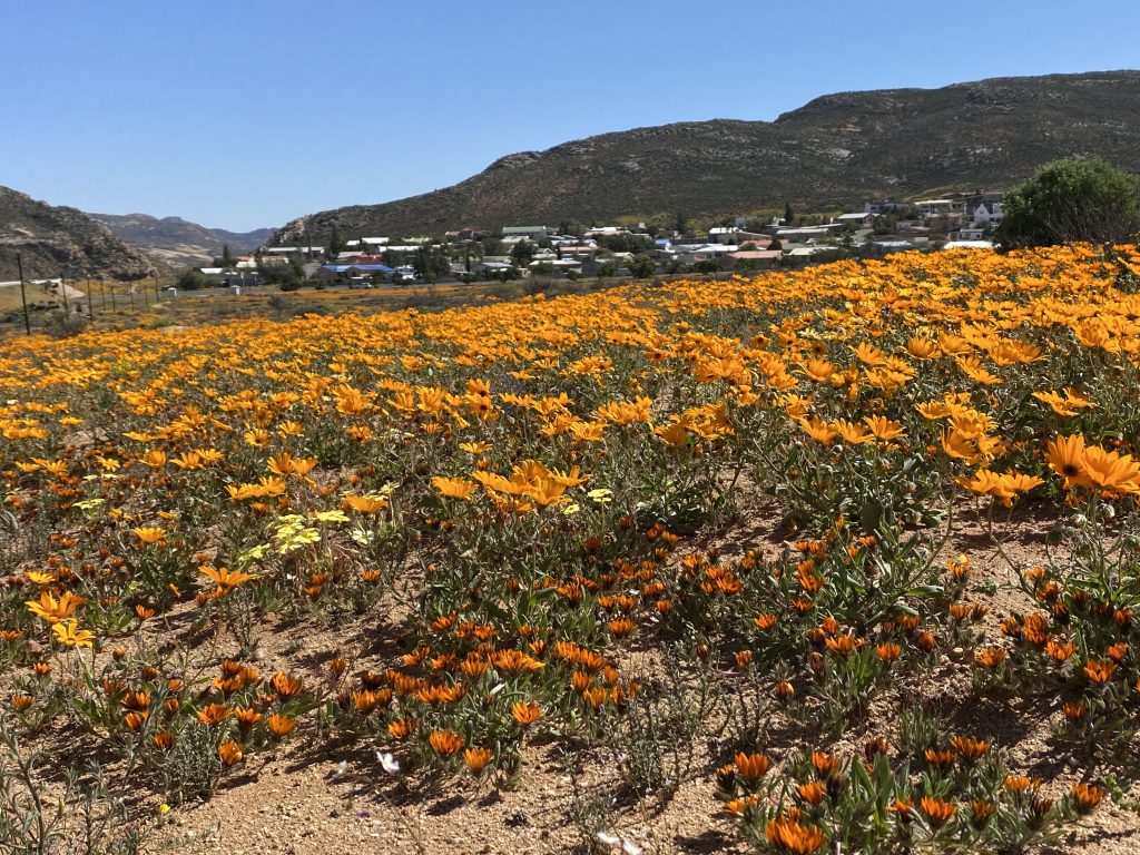
The next day we started the long trek home. It was an eleven and a half hour drive with stopping for lunch. Our journey took us further south to get to the motorway and along the way we finally got to see the famous Namaqualand flowers. They only bloom once a year and it was the season for them. We stopped and took some pictures quickly and got back on the road. We left at 7:30am and got to Red Sands at 7pm. Needless to say, we ate dinner and went to bed. We got up the next morning and got back on the road to home. We had some really interesting sights on the way. There was a solar reflector energy tower just outside of Kuruman. I’ve never seen anything like it. There were also several Padstals, which are farm stands. Even the small towns have very pretty churches, so I got pictures of them when I could. No idea about the random car in the air! We made it home around 3pm.
The entire trip was 3,500 kilometers or 2,200 miles. We have solar panels for power when we’re off the grid and we were lucky to have sunny days. We had plenty of power and water, which is always nice. This trip was a prime example of good planning, preparation, and packing for us. Even though we had some challenges, we were prepared for them. I hope you enjoyed the journey, we did!
If you would like to know more about this trip, here are a couple of website resources to check out:
https://www.richtersveld-conservancy.org/visit.php
More coming soon. Next up is the annual October trip to Kruger National Park.
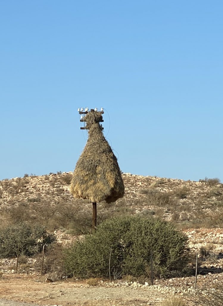
What fantastic pictures! The size of the bird’s nest is something else. Nice that you were able to go off the grid and travel during COVID-19, with such a trip you don’t have to worry about other people. Where is your next trip to in March? Keep sharing the adventures. We had to get away for a few days, just a few hours away from DC to hike trails. No restaurants are open here. On the one rough day for Q, was he car sick?
Q was not car sick, he just pants and stands. We went really slow!
Next up in March is Kruger. Yes, again!
More pictures of flower! More pictures of the cave campsite! – really fascinating trip.
Another amazing trip!!
Thanks for sharing your fabulous adventures!